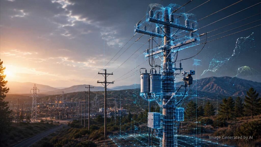

Industrial IoT has transformed many aspects of modern infrastructure. Smart sensors, connected substations, and advanced analytics are now common components of energy system modernization. Yet one of the most critical elements of the power grid remains largely absent from this digital ecosystem: the distribution pole.
Across North America, approximately 400 million poles support the wires and equipment delivering electricity. Despite their central role, these assets are often inspected only once every five to ten years. In digital terms, they remain “dark assets”, infrastructure that physically supports the grid but exists in data systems as incomplete or outdated records.
From Observation to Intelligence
Early applications of computer vision focused primarily on detection. Algorithms could identify objects such as poles or insulators within an image. For inventory purposes, this was a meaningful step forward.
However, identifying an object is only the beginning. For distribution engineers, the real challenge lies in interpreting structural relationships. This deeper level of interpretation is known as Geophysical Reasoning. Unlike simple detection, geophysical reasoning allows digital systems to “think like an engineer,” automatically identifying an asset’s “DNA”, its specific height, diameter, material composition, and attachment configuration.
The Analysis Bottleneck
The barrier to achieving this insight has rarely been a lack of imagery. Instead, it has been the “analysis tax” required to convert raw data into engineering-ready information. Traditional workflows — which often involve manual field measurements, take roughly 15 minutes per pole. When office processing is included, that time often balloons to 30 minutes or more.
Automating the Pipeline
Recent advances in AI-driven 3D reconstruction have broken this bottleneck. Modern pipelines have reduced the total time-to-intelligence from 30 minutes to just 7 minutes per asset through a three-stage process:
- Rapid Field Capture: Field crews collect multi-angle imagery in roughly two minutes, significantly reducing time spent in hazardous roadside environments.
- Automated Reconstruction: AI systems analyze imagery to reconstruct survey-grade 3D geometry (accurate to under a centimeter) and identify components automatically.
- Systems Integration: Models are exported directly into CAD and GIS (Geographic Information Systems) for immediate structural analysis.
Toward a “Simulation Twin”
This automated approach enables the creation of a Simulation Twin. By generating a structural “blueprint” rather than just a collection of photos, utilities can identify potential failures before they occur. In the U.S. alone, shifting to these automated workflows is estimated to unlock 19 million work hours saved annually. This reclaimed time allows utilities to reallocate urgent investment toward grid hardening and wildfire risk reduction.
The Digital Foundation of the Energy Transition
Much of the conversation around grid modernization focuses on advanced control systems and AI. But these systems are only as effective as the data supporting them. For the grid to be truly intelligent, the physical structures must be represented with the same fidelity as the algorithms designed to manage them.
Transforming distribution poles from dark assets into digitally understood infrastructure represents one of the final, and most important, steps in building a resilient, data-driven energy network.
About the author